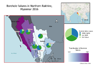
 Working on a project for Geology for Global Development NGO. Handwritten borehole data was digitized to analyse the risk of arsenic contamination in the water source.
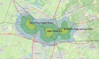
 Isochrone mapping to for a UK transport consultancy. Using Isochrones to analyse hospital accessibility.
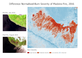
 An assessment of fire burn severity for the 2016 fire in Madeira. This used the dNBR calculation on Landsat images from before and after the fire.